Is Chahar Bagh Safe from Floods? RUDA Explained
By: Deal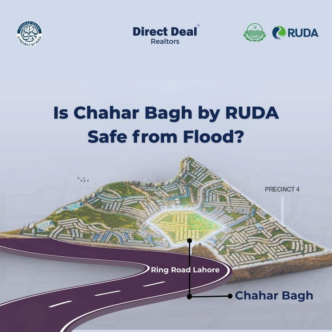
Chahar Bagh by RUDA – Scientifically Proven Safe from Flood:
When people hear about real estate projects near rivers, one concern naturally comes to mind:
Is this land safe from flooding?
In the case of Chahar Bagh, the flagship residential project of the Ravi Urban Development Authority (RUDA), the answer is backed by history and modern science. Unlike many projects that rely on assumptions, Chahar Bagh’s safety and sustainability have been validated through topographic surveys, contour mapping, and hydrological risk assessments conducted before development even began.
This makes Chahar Bagh one of the most secure and future-ready housing schemes in Lahore.
A Historical Foundation – Why GT Road Matters?
To understand why Chahar Bagh is naturally secure, we must go back to the 16th century.
The Grand Trunk Road (GT Road), one of South Asia’s most important trade routes, was constructed by Sher Shah Suri in the 1500s. While designing this route, his engineers deliberately avoided flood-prone plains and instead aligned the road along elevated, firm, and secure land.
Fast forward 400 years, GT Road still stands strong. Settlements and projects along this corridor have historically remained safe from seasonal floods.
Chahar Bagh is located only 2–3 kilometers from GT Road near Quid e Azam Interchange.
This means it sits in the same naturally elevated zone that has been strategically chosen for centuries as safe ground.
RUDA’s Scientific Approach – Beyond History:
While history shows the safety of the GT Road corridor, RUDA went a step further. Instead of relying on historical assumptions, RUDA conducted a Topographic & Contouring Survey and a Hydrological & Flood Risk Assessment before finalising Chahar Bagh’s development.
This ensures that the decision was evidence-based, data-driven, and globally aligned with best practices.
Topographic & Contouring Survey – Mapping the Land:
The Topographic & Contouring Survey was RUDA’s first step in scientifically validating Chahar Bagh’s location.
What is Contouring?
Contouring is the process of creating a 3D elevation map of the land. It shows which parts are high ground, which are low-lying, and how water naturally flows across the terrain.
What RUDA’s Engineers Measured:
- Elevation Levels: Identifying land height differences to pinpoint flood-safe zones.
- Historic River Paths: Tracing where the Ravi River once flowed, centuries ago.
- Natural Drainage Patterns: Mapping how rainfall or floodwater disperses.
- Safe vs. Risk Zones: Separating areas suitable for housing from those prone to waterlogging.
Findings:
The contouring maps revealed that land around GT Road, including Chahar Bagh, is significantly elevated compared to the Ravi floodplain.
In simple words:
Chahar Bagh is located on naturally high and safe ground.
Hydrological & Flood Risk Assessment – Engineering the Ravi’s Future:
After contouring, RUDA commissioned a Hydrological & Flood Risk Assessment.
This study simulated how the Ravi River behaves during seasonal floods, heavy rainfall, and even rare “super flood” events.
Key Components of the Study:
- Flood Simulations: Computer models to test how water spreads under different scenarios.
- Water Holding Capacity: Measuring how much the Ravi can contain without overflowing.
- Impact Zones: Identifying which areas might be at risk without intervention.
- Engineering Solutions: Testing outcomes if the river is channelized and embankments are built.
Results:
- Normal & Seasonal Floods: The GT Road corridor, including Chahar Bagh, remains outside the floodplain.
- Super Flood Scenarios: Even in rare, extreme floods, the elevated Chahar Bagh land faces negligible risk compared to low-lying areas.
- Channelization Impact: With RUDA’s planned concrete-lined channels and embankments, water will remain strictly within its defined path, eliminating spillovers into urban zones.
Final Recommendation:
The engineers concluded that Chahar Bagh is suitable for safe urban development, both under current conditions and with RUDA’s future river channelization.
Why This Matters to Buyers and Investors?
These studies are not just technical reports, they directly answer the most important question every buyer asks:
Will my home and investment be safe here?
The answer, supported by science, is YES.
- Data-Driven Confidence: The site was chosen only after scientific validation, not assumptions.
- Modern Best Practice: Surveys and modeling are the same standards used for cities near rivers worldwide (e.g., London’s Thames, Singapore’s Marina Bay).
- Future-Proofing: RUDA’s flood control and river management projects guarantee long-term resilience.
- Peace of Mind: Buyers can live in Chahar Bagh knowing their investment is secure against flood risks.
The Role of RUDA – Vision Beyond Safety:
Safety is just the foundation. RUDA’s broader vision for the Ravi River and Lahore includes:
- Channelization & Embankments: To manage floodwaters permanently.
- Smart Urban Planning: Integrating green zones, transport links, and modern infrastructure.
- Eco-Sustainability: Reviving the Ravi as an ecological asset while ensuring safe development.
- International Standards: Bringing Lahore’s riverfront development at par with global benchmarks.
Through Chahar Bagh, RUDA is not only building a housing scheme but shaping the future of urban living in Lahore.
Final Thoughts:
Real estate investments should be guided by facts, not fears. In the case of RUDA’s Chahar Bagh, the facts are clear:
- ✅ It is located outside the Ravi’s natural floodplain.
- ✅ It is validated by modern topographic and flood risk surveys.
- ✅ It is backed by RUDA’s long-term flood management and urban development plan.
- ✅ It is already delivering strong profits to early investors.
For anyone seeking a secure home or a high-return investment in Lahore, Chahar Bagh by RUDA is the scientifically proven choice.